
Atlantic Loop
Atlantic Loop

Photo: Konor Abrahams
On July 15th, 3 friends and I set off on a 2-week road trip through the Atlantic provinces of Canada. More than 5000 kilometres of driving, cycling and hiking combined, made it difficult to remember the exact details of travel afterwards. I took inspiration from the IOS photo app’s map view which allows viewing media in the exact location it was taken. This gave me the idea to document our trip by compiling the routes we drove, cycled and hiked together within a Felt map, for us to look back at in detail and share.
For a closer look at the map, click the Open Map button at the bottom right of the map and zoom in around the icons and route path to view photos and media from the adventure.
On mobile, click here to open Felt map.


Photo: Konor Abrahams
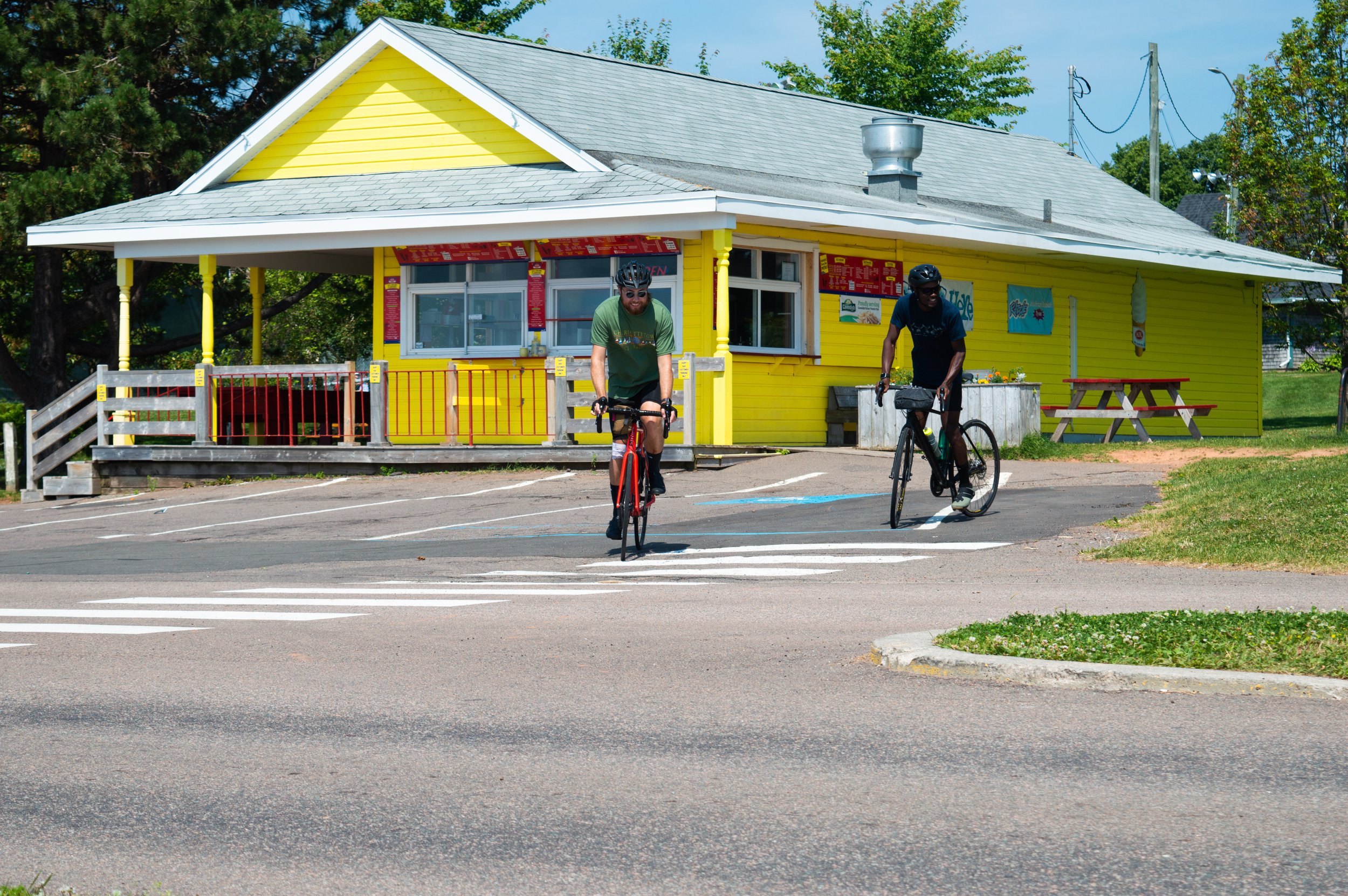
Photo: Konor Abrahams

Photo: Konor Abrahams

Photo: Konor Abrahams

Photo: Konor Abrahams
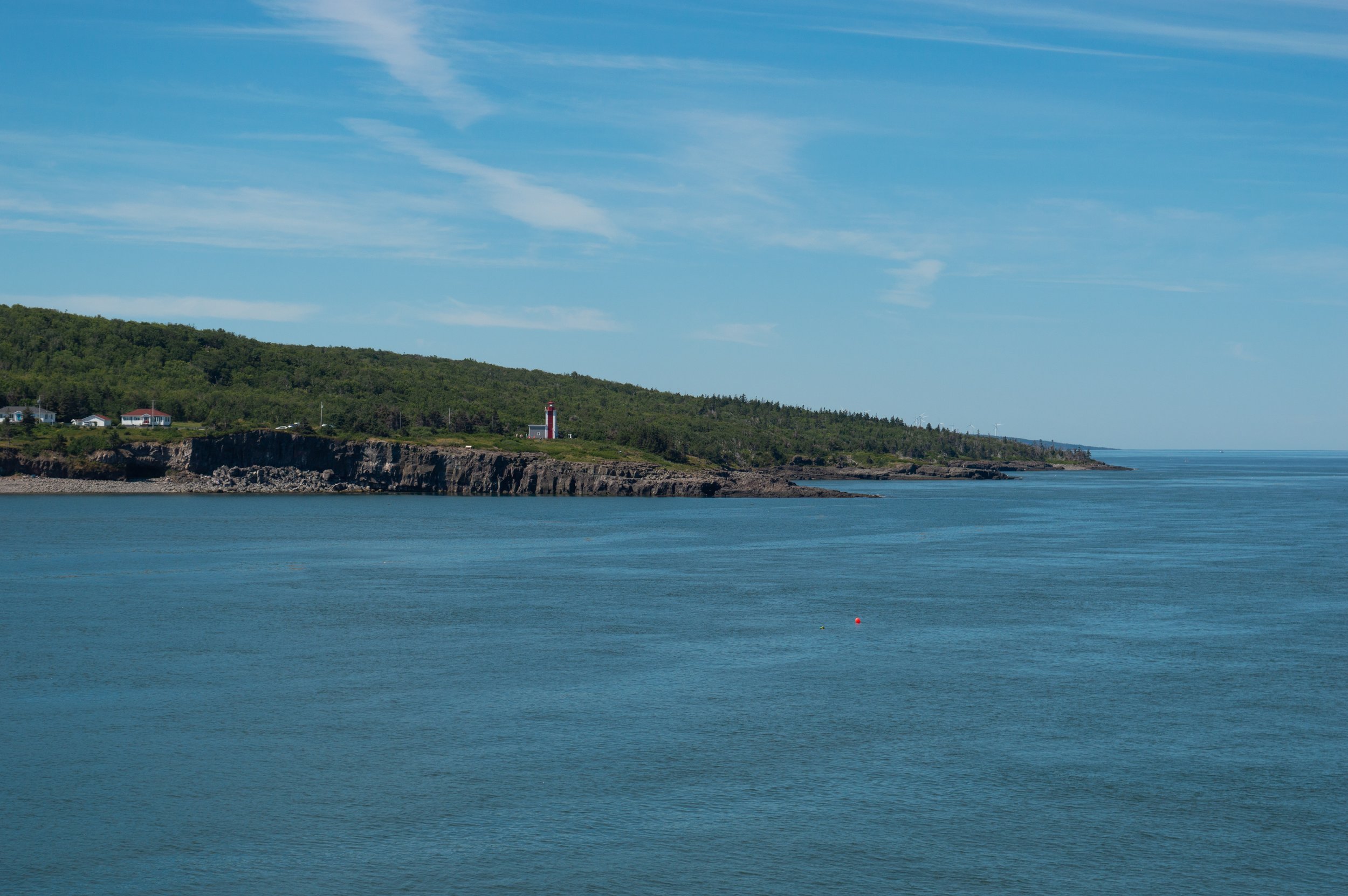
Photo: Konor Abrahams

Photo: Konor Abrahams

Photo: Konor Abrahams

Photo: Konor Abrahams

Photo: Konor Abrahams

Photo: Konor Abrahams